Consulting
Project management
Airborne, ground and borehole geophysics, evaluating and planning, coordination of field work, quality control of surveys, processing of acquired data and reporting.
Data processing
Data processing and reprocessing of historical ground and airborne data (derivatives, color-shaded images, filters, corrections, leveling.
Modeling
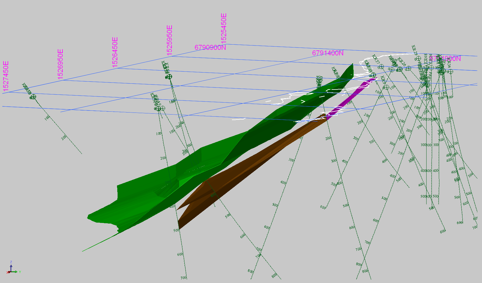
Modeling and inversion of geophysical survey data such as EM, TEM, IP, magnetic, gravity.
Integrated interpretation
Integrated interpretation such as geology, geochemistry, downhole physical properties, GIS.
Maps
Generation of high quality maps such as staked profiles, contoured maps and color images.
Data Export
Data and image export to other GIS or mine modeling software


